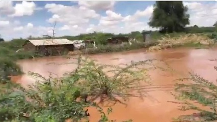
Government flags 59 flood hotspots in Tana River as nationwide toll rises
Tana Delta accounts for the highest number at 32, out of the locations identified as flood-prone...
✨ Key Highlights
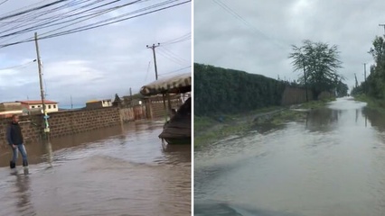
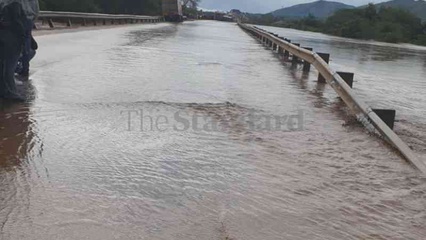
Kenya's Tana River County is facing severe flooding, with the government identifying 59 flood-prone areas as a nationwide toll from heavy rains continues to rise.
- At least 18 people have died nationwide as of May 2, 2026, primarily from drowning.
- The Interior Ministry has issued heightened alerts due to rising water levels at the Seven Forks Dam.
- Regions most affected include the Eastern province, with Nairobi also reporting significant impact on residents and infrastructure.
Continue Reading
Read the complete article from The Standard
Part of the Day's Coverage
Gov’t Maps 59 Tana River Flood Zones as Death Toll Rises to 18 - May 2026
Kenya's Government has identified 59 flood-prone areas in Tana River County as rising water levels from the Seven Forks Dam escalate risks. The nationwide death toll from ongoing floods has tragically climbed to 18. Separately, the Machakos County government has announced impending demolitions of houses built on riparian land to combat flooding, following heavy rains that have caused widespread damage and loss of life in the region. These developments highlight the escalating flood crisis affecting multiple counties across Kenya.